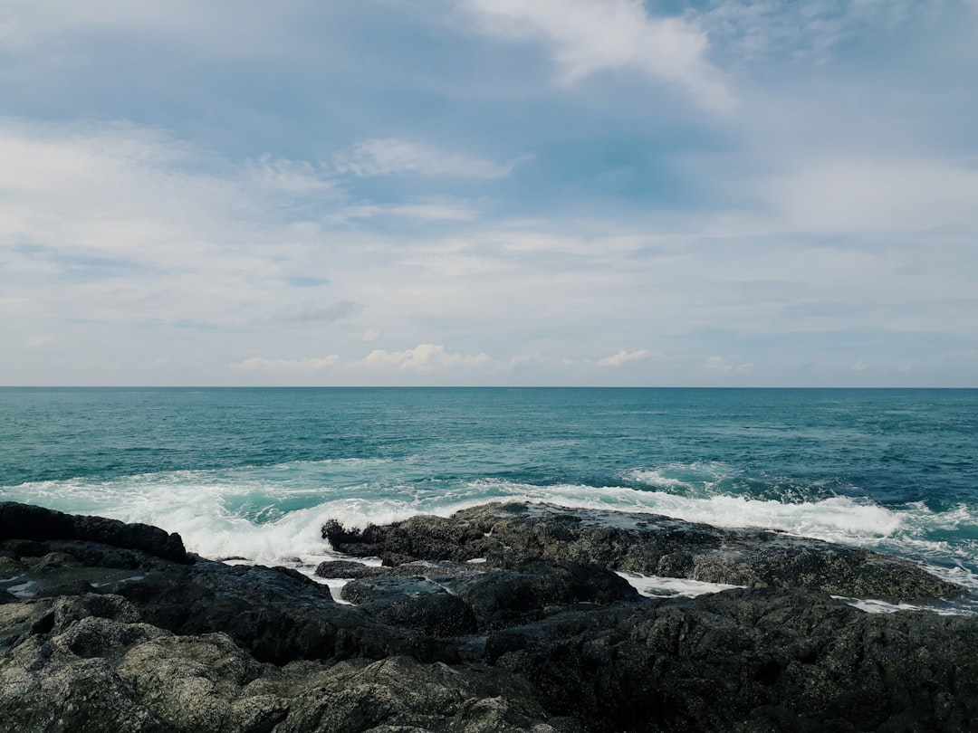
The Best Shore Photo Spots around Ko Lanta in Thailand
Explore Shore pictures of Ko Lanta with the travel spots on a map
Download the Travel Map of Thailand on Google Maps here
10 Shore Spots of Ko Lanta on a Map
Pictures of Shore on the interacive map of Ko Lanta
Download On Google Maps 🗺️📲Shore Spots and Pictures around Ko Lanta
Discover popular destinations in Ko Lanta with their travel guides
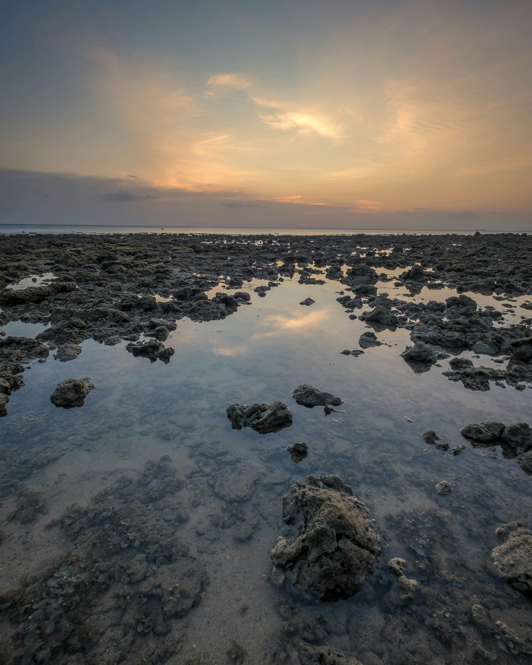
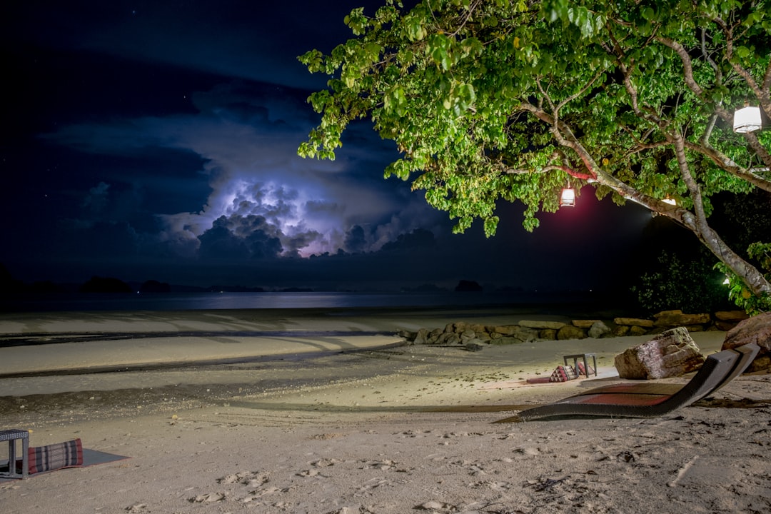
Ko Lanta District
Read the Travel guide View on Google Maps
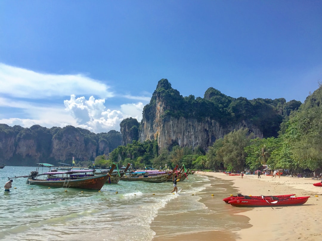
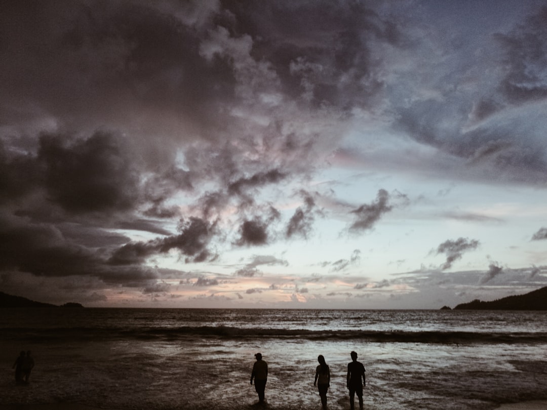
หาดไร่เลย์ Krabi
51 km away from Ko Lanta
Read the Travel guide View on Google Maps
Unnamed Road
51 km away from Ko Lanta
Read the Travel guide View on Google Maps
Ao Nang
54 km away from Ko Lanta
Read the Travel guide View on Google Maps
Krabi
55 km away from Ko Lanta
Read the Travel guide View on Google Maps

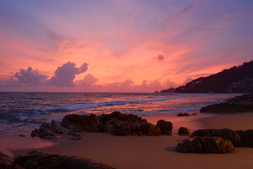
Promphet Cape
87 km away from Ko Lanta
Read the Travel guide View on Google Maps
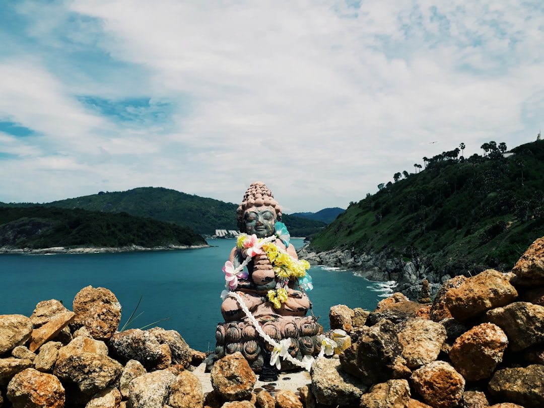
Promthep Cape
87 km away from Ko Lanta
Read the Travel guide View on Google Maps
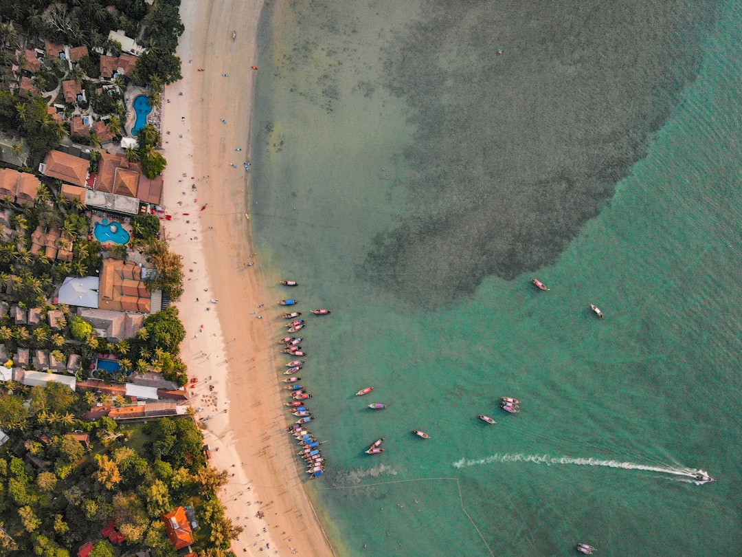
Patong Beach
92 km away from Ko Lanta
Read the Travel guide View on Google Maps

Patong
92 km away from Ko Lanta
Read the Travel guide View on Google Maps
Kalim Beach
92 km away from Ko Lanta
Read the Travel guide View on Google Maps
Book your Travel Experience in Ko Lanta
Discover the best tours and activities in Ko Lanta and book your travel experience today with our booking partners
Learn More about Ko Lanta
Find Hotels in Ko Lanta
Discover the best hotels around Ko Lanta, Thailand and book your stay today with our booking partner booking.com